HSC Geography Skills (Grade A)
Summary:
This text provides an overview of various geography skills and how to apply them using photos, maps, and graphs. The skills covered include vertical exaggeration, gradient, bearings, aspect, line of sight, latitude and longitude, area and grid reference, distance measuring, direction, cross-sections, quadrants, estimating time in a photo, local relief, finding speed, calculating increase or decrease, transects, and more. The text also explains how to use GIS (Geographic Information System) and synoptic charts and determine sight lines between two points. Additionally, it covers logarithmic graphs, constructing precise maps, working out barometric pressure, population pyramids, pie graphs, and finding percentages, as well as concepts related to population density and density of buildings per square kilometre.
Excerpt:
HSC Geography Skills
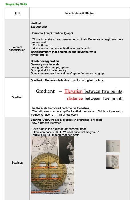
Skill: Vertical Exaggeration
Explanation: Vertical exaggeration is a technique used to stretch a cross-section, making differences in height more pronounced. When working with maps, it is represented horizontally, and when using graphs, it is represented vertically. The scale should be in whole numbers (not decimals) with the word “times” after it. Generally, greater exaggeration is used for smaller-scale representations, resulting in steeper and more pronounced changes in elevation. The graph’s y-scale increases more rapidly than the x-scale, allowing for a clearer representation of vertical changes without extending too far across the graph.
Skill: Gradient
Explanation: The gradient is calculated using the “rise: run” formula between two given points. When working with maps, using the scale, it’s essential to convert centimetres to meters. The gradient ratio should be simplified to have a rise of 1, allowing for a clear representation of the height change with 1 meter of rise for every … (the simplified value).
Skill: Bearings
Explanation: Bearings refer to the direction between two points on a map or a topographic chart. A protractor is used to determine bearings, and the answer is given in degrees. It’s important to draw a line between the two points and focus on the word “from” in the question to identify the starting point. The compass points (N, S, E, W) should also be marked according to the quadrant in which the bearings are measured.


Reviews